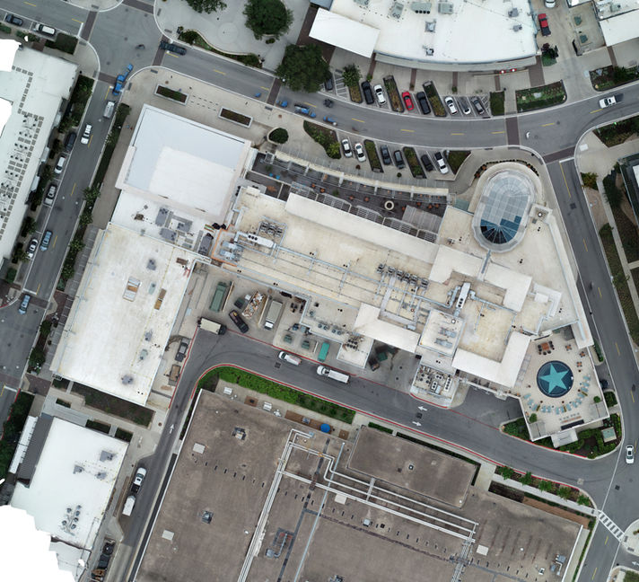
FACILITIES DOCUMENTATION / INSPECTION
Aerial and Ground 3D data is a powerful tool for Facility Management Professionals. Using images from our high-resolution cameras and laser scanners, FM and AEC personnel can document and evaluate the condition of exterior facades, roof systems, and external HVAC and other equipment without ladders, lifts, or stages. Building envelope documentation is completed with ease. Paving and roofing condition reports can be generated without multiple site visits. Photos can be shared with stakeholders to view actual conditions and understand expenditure requests. Accurate, up-to-the-minute orthomosaic maps can be generated from drone data of a single small site, or a portfolio of facilities encompassing multiple sites and hundreds of acres. 3D models of existing conditions can be used in CAD software for documentation or planning future projects.
Call us at 512-522-2190 or info@tcadrone to discuss a path forward for your FM team.


